
Los Angeles Wildfire Rapid-Response Heritage Documentation
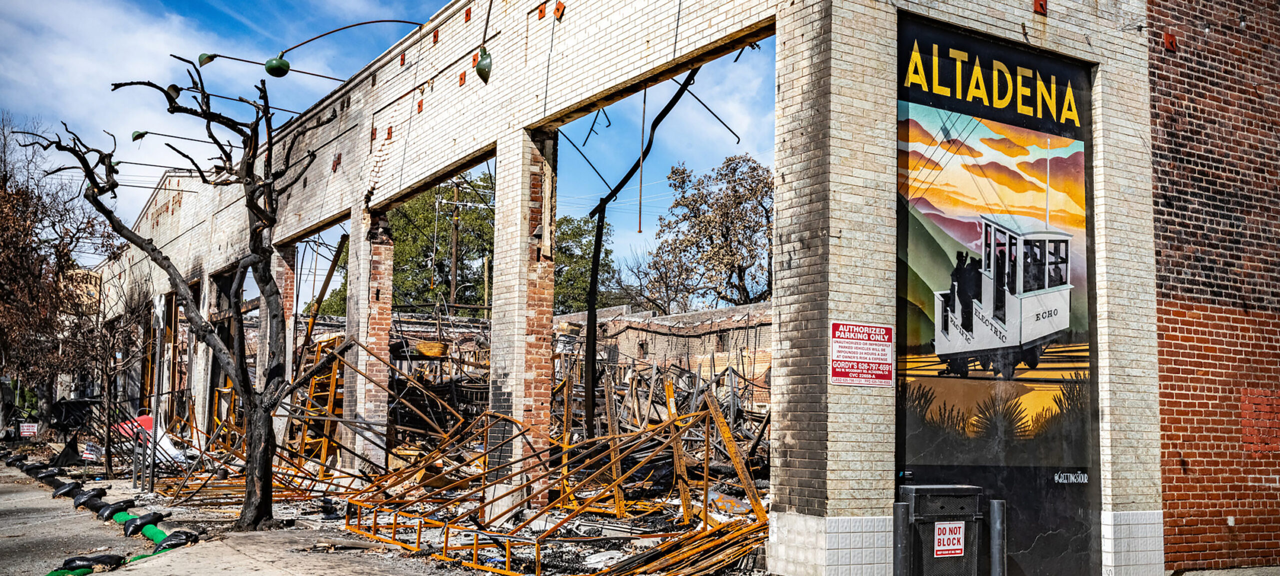
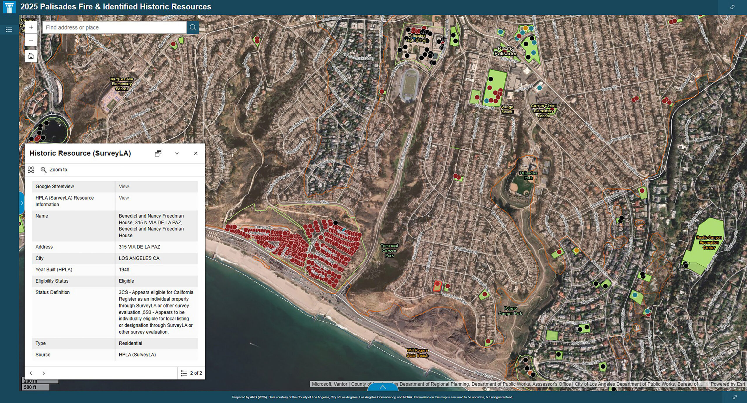
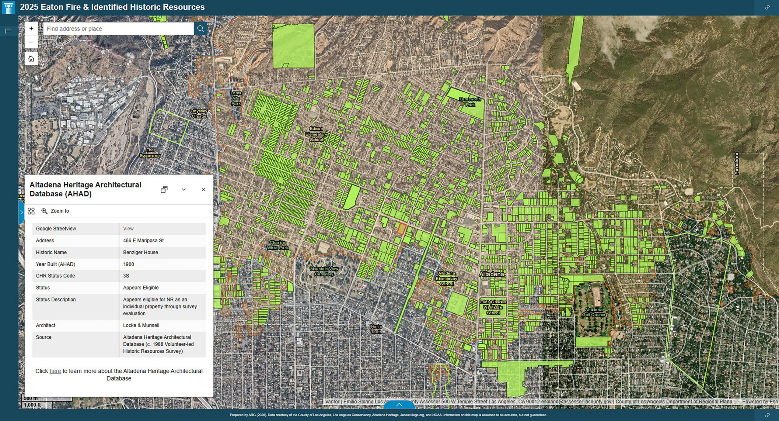
The Los Angeles Wildfire Rapid-Response Heritage Documentation project sought to assess and visualize wildfire impacts on historic and cultural resources in the Palisades and Eaton Fire areas. Using GIS, it was possible to integrate publicly available fire damage data, post-fire aerial imagery, and existing heritage inventories with locally maintained and community-sourced datasets. Two contrasting data environments shaped the approach: the Palisades Fire area benefited from a comprehensive citywide historic resources survey (SurveyLA), while the Eaton Fire area relied on volunteer-led documentation and local knowledge. By consolidating these datasets into publicly accessible interactive maps, the project enabled a remote assessment of heritage loss, revealed disparities in existing heritage documentation data, and supports both institutional and community recovery efforts and future documentation. The project demonstrates how GIS can critically serve as a first-response heritage documentation tool that is both replicable and socially responsive.
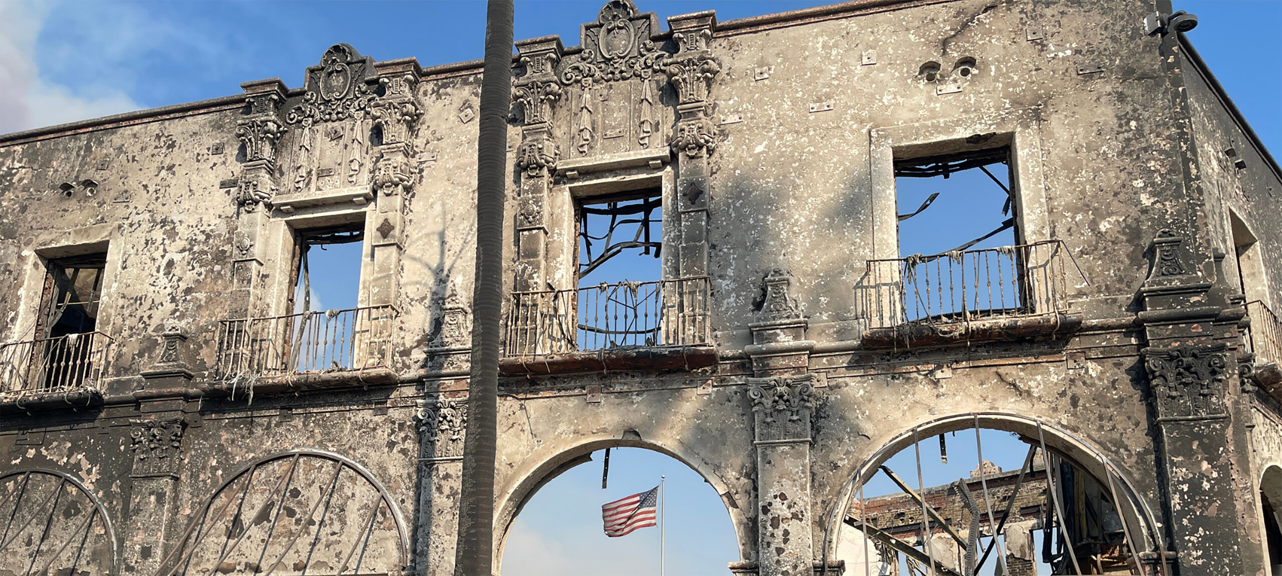
When the historic built fabric of a place is damaged or destroyed, the tangible record of shared memory and identity is likewise diminished. For preservation practitioners, responding to this loss means working to understand and safeguard the architectural and cultural expressions of the past at the very moment they are most vulnerable. Collecting and inventorying sites of significance impacted by disaster becomes a means of preserving collective histories and legacies, helping sustain continuity of place, memory, and meaning amid destruction.
In documenting wildfire impacts to historic resources, it became clear that the Palisades and Eaton fire areas presented distinct baseline conditions for heritage documentation. These differences were due in part to uneven levels of prior documentation. The rapid deployment of GIS-based documentation allowed the project team to visualize, categorize, and interpret loss with precision, offering a replicable model for areas where heritage data infrastructure is well developed. The initiative also relied on the community-driven identification of sites of significance, informed through collaboration with local agencies, preservation advocacy organizations, and community members who contributed historical knowledge, archival records, and locally maintained datasets. This collective effort proved to be a meaningful and engaged form of documentation, serving as a repository for collective memory during the earliest waves of shared grief and resilience.
By applying a consistent geospatial methodology across two very different data environments, the project demonstrated that rapid-response heritage documentation can be both standardized and context-sensitive. Building upon this foundation, the project supports community recovery by providing a trusted, shared record of cultural loss and survival, and by establishing the groundwork for future planning and documentation efforts that will guide long-term resilience and investment.
Photography by Rico Mandel and Gary Leonard, Los Angeles Conservancy